AZA4ICE Geospatial platform
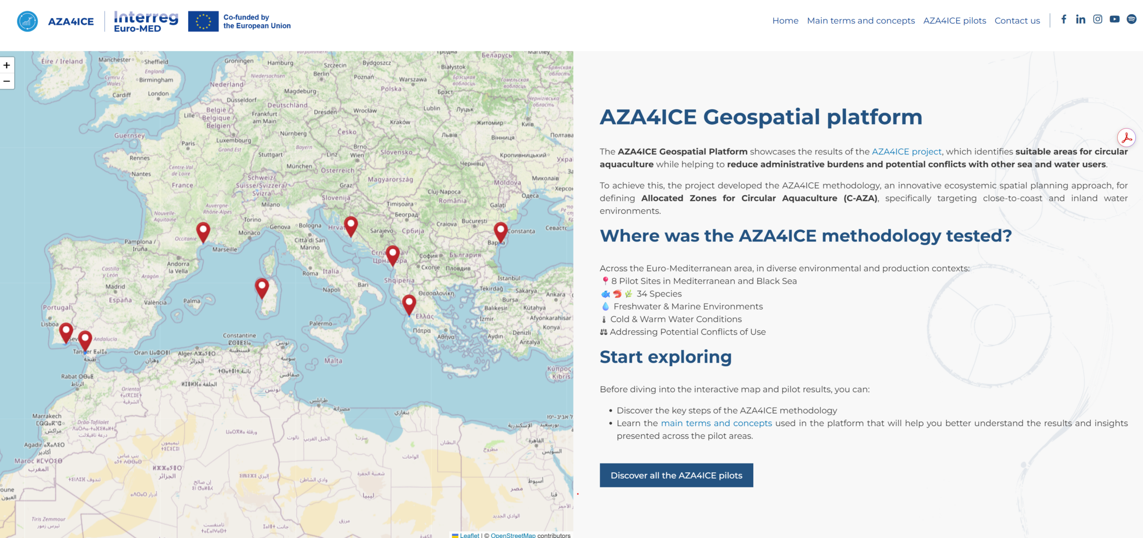
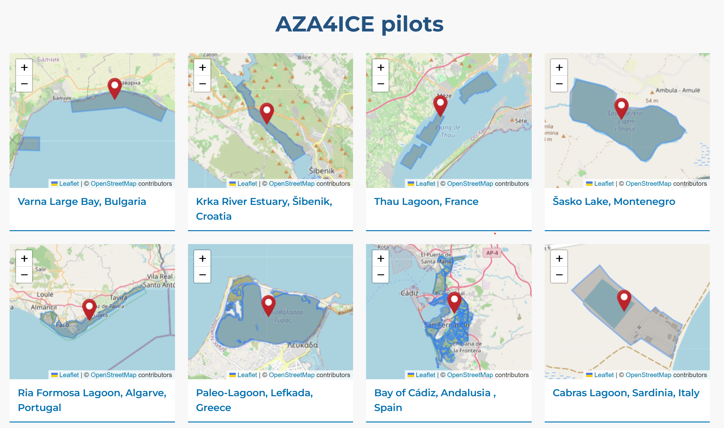
The AZA4ICE open-access geospatial platform is online and provides targeted information on the Allocated Zones for Circular Aquaculture (C-AZAs) for each pilot site identified through the AZA4ICE methodology during the project’s Test Phase, supporting informed decision-making and the uptake of circular aquaculture practices.